A slight risk of severe weather has been issued by the Storm Prediction Center (SPC) for today, April 11, 2012. Here are the images:
 |
| General Threat |
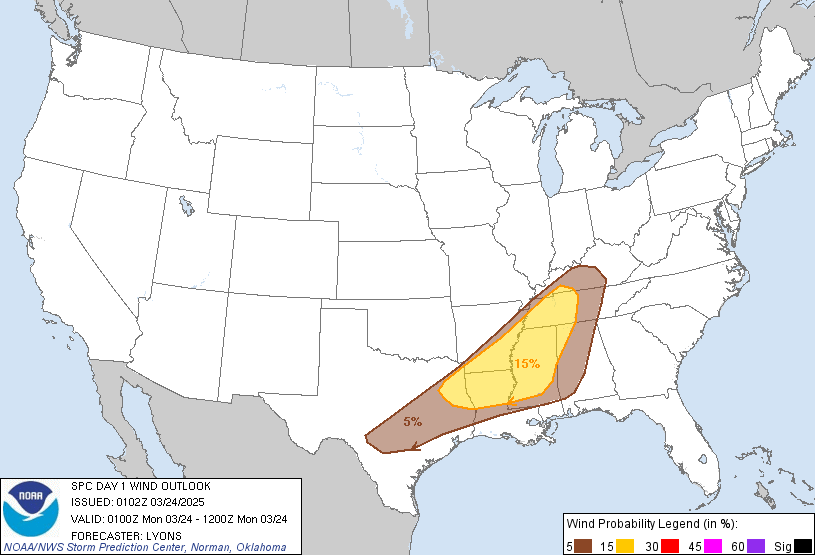 |
| Wind Probabilities |
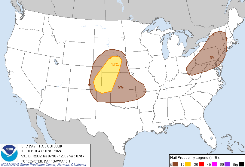 |
| Hail Probabilities |
 |
| Tornado Probabilities |
As you can see, the SPC is aiming for a bulls eye in the Texas and Oklahoma Panhandle regions right now. This comes as a convergence zone tries to develop in the Plains. The main limiting factor for this severe weather event is the fact that moisture is actually limited today. This really drags instability and thus the overall threat downward for today. There is actually enough shear and dynamics to potentially push a few a few supercells into developing, however, I am not seeing a widespread threat with this. However, if we can get a lone supercell to show itself, and it just happens to be in the zone of maximum shearing, we could get something going. As nightfall comes, we should get a cluster or two of storms to develop bringing with it the always present threat of damaging winds. So taking this all into account, I get this:
Stay tuned!


No comments:
Post a Comment